


6,7 km | 7,3 km-effort

Utilisateur


Application GPS de randonnée GRATUITE
 SityTrail
IGN / Instituts géographiques
SityTrail World
Le monde est à vous
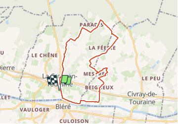
Randonnée Marche de 16,4 km à découvrir à Centre-Val de Loire, Indre-et-Loire, La Croix-en-Touraine. Cette randonnée est proposée par Orcal37.
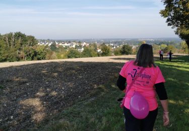
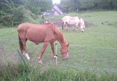
la Croix-en-Touraine - 16.4km 150m 3h50 (30mn) - 2023 07 08
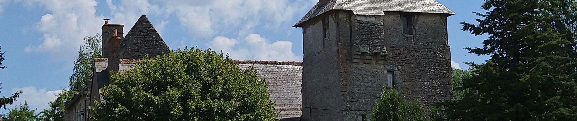
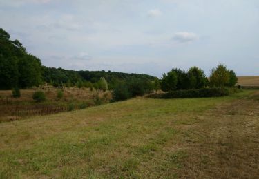
 - 2023 07 08 - Photo 1")
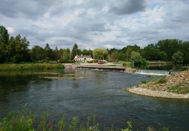
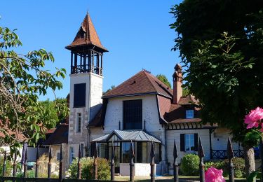
 - 2023 07 08 - Photo 2")
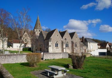
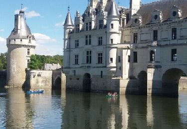
 - 2023 07 08 - Photo 3")
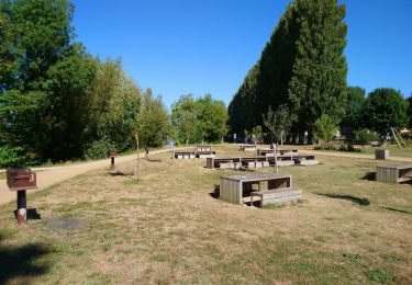
 - 2023 07 08 - Photo 4")
 - 2023 07 08 - Photo 5")
 - 2023 07 08 - Photo 6")
 - 2023 07 08 - Photo 7")
 - 2023 07 08 - Photo 8")
 - 2023 07 08 - Photo 9")

Marche
Marche
Marche
Marche
Marche
Marche
Marche
Marche
Marche